Welcome to the ExploreRI Mapper
This mapper will help you locate boat launches and other points of interest to for small boat recreation throughout the state of Rhode Island. To get started, click anywhere on the map to zoom in on that area. To zoom out use the zoom control to the left of the map. Once you have zoomed in, boat launches and other points of interest will show up on the map as clickable red icons (see the key below the map). Click on an icon to get more information about that location. If you prefer to search by criteria or simply look up a site by name, try the boat launch search page. If you have a high-speed Internet connection (e.g., DSL or Cable), you may want to try our new Google-based mapping system! Among other things, the new mapping system shows boat launches in Massachusetts, in the Narragansett Bay Watershed.
The data on this website comes from many sources, including volunteers and organizations across the state of Rhode Island and in nearby parts of Massachusetts. We have done our best to make sure the data are accurate and up to date, but any information critical to the success of your trip should be confirmed before you start. These maps should not be substituted for nautical charts, topographic maps, or other more detailed maps and guides that are often essential to a safe trip on the water or on land. We welcome corrections and additions. To send a correction or provide other feedback, please use our feedback form..

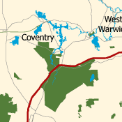
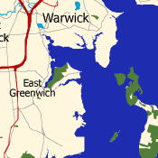
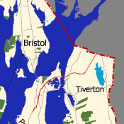
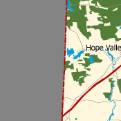




Credits: The data for the base maps was provided by the Rhode Island Geographic Information System (RIGIS) and the Office of Geographic and Environmental Information (MassGIS), Commonwealth of Massachusetts, Executive Office of Environmental Affairs. The site data came from numerous sources and organizations. Much of it was collected through the hard work of volunteers for various conservation, watershed and outdoor recreation groups around the state of Rhode Island.


